


🌍 Survey Smarter, Not Harder — Precision Meets Portability
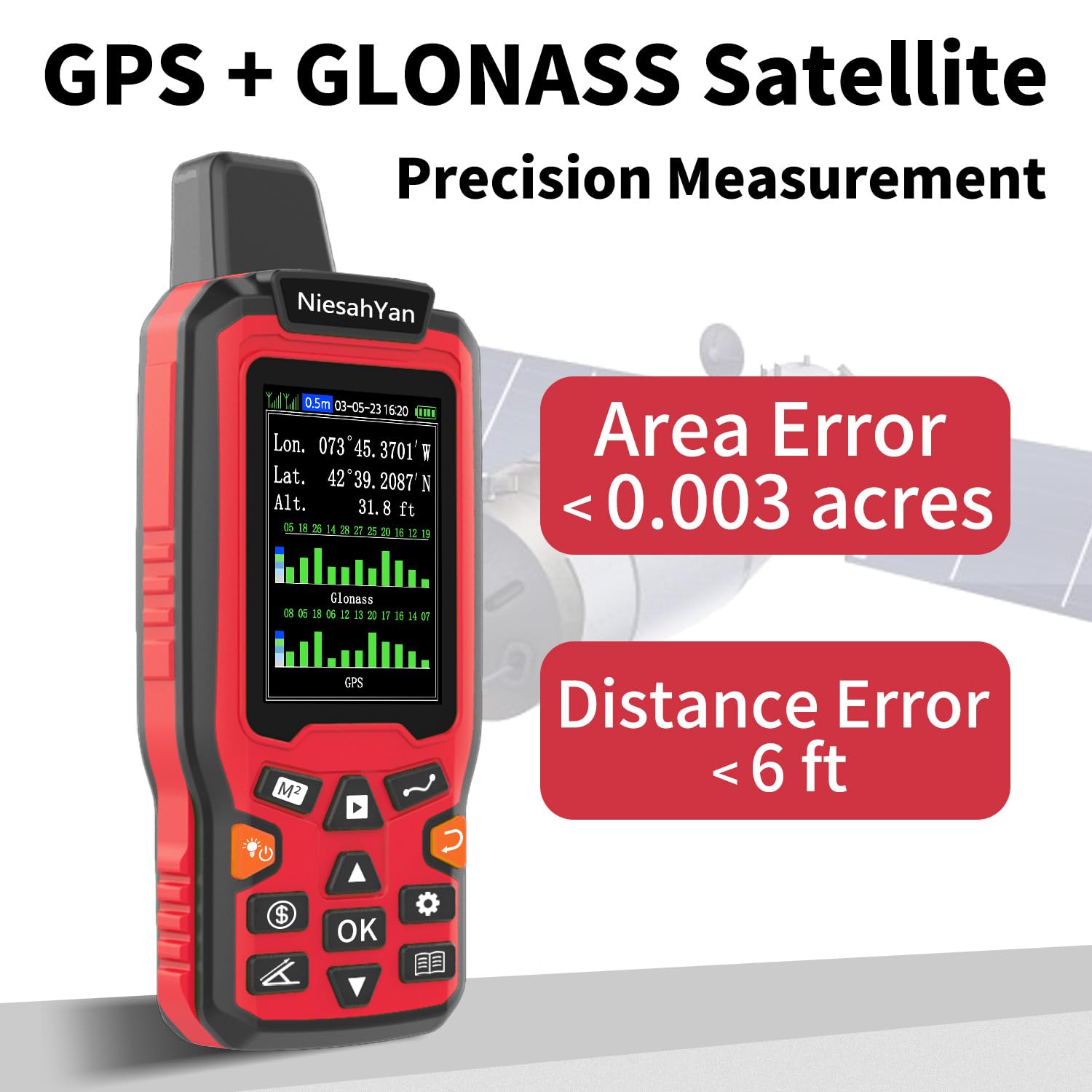
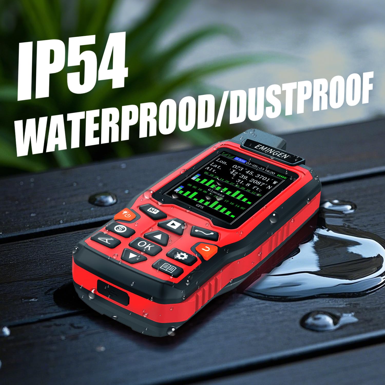
The NiesahYan ZL180 is a rugged, handheld GPS surveying tool featuring dual GPS+GLONASS satellite support for ultra-precise land measurement with an error margin as low as 0.003 acres. Its 2.4-inch backlit LCD provides clear, real-time data, while its lightweight ergonomic design ensures comfort during prolonged use. Ideal for professionals managing forests, farmland, or mountainous terrain, it offers versatile 4-in-1 measurement modes and up to 20 hours of battery life, making it a reliable companion for accurate topographical mapping in the field.

| Display Size | 2.4 Inches |
| Battery Life | 20 Hours |
| Voice command | Touchscreen |
| Product Dimensions | 13.97 x 5.84 x 2.79 cm; 308 g |
| Batteries | 1 C batteries required. (included) |
| Item model number | ZL180 |
| Manufacturer | NiesahYan |
| Country of Origin | China |
| Item Weight | 308 g |
Trustpilot
1 month ago
3 weeks ago