Uncover the Latest Jolly Map Innovations
Find your favorites among our trusted selection of Jolly Map must-haves.
Antiguos Maps - Hysterical Map of Lake Tahoe by Jolly Lindgren Circa 1948 - Measures 24 in x 32 in (610 mm x 813 mm)
National Geographic Road Atlas 2025: Adventure Edition [United States, Canada, Mexico] Spiral-bound – June 10, 2024
Jolly RancherHard Candy Original Single Pack 198g
Uttar Pradesh Map | English | Laminated | 100 x 70 cm Wall Chart – 8 January 2022
Stupell IndustriesJolly Map Of North Pole Framed Floater Canvas Wall Art, Design by Irene Chan
World Map and USA Map for Kids - 2 Poster Set - LAMINATED - Wall Chart Poster of the United States and the World (18 x 24)
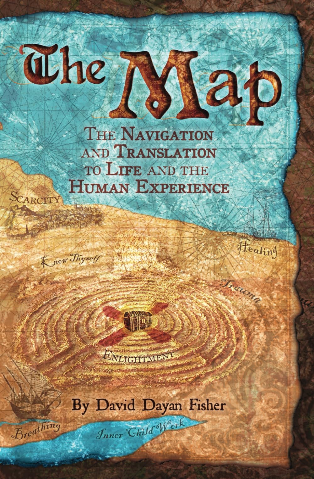
The Map: The navigation & translation to life & the human experience
World Map Laminated Poster -Double Side Educational Poster For Kids/Adults -18 x 24 inch Waterproof Map For Home Classroom
Ambesonne Pirates Fabric by The Yard, Colorful Pattern with Corsair of Jolly Roger Bottle Anchor Treasure and Map, Stretch Knit Fabric for Clothing Sewing and Arts Crafts, 1 Yard, Grey Teal
India Map : Political | Laminated Both Sides | 70 x 100 cm ( Big Map )
National Geographic United States for Kids in gift box Wall Map (Poster Size: 36 x 24 in) (National Geographic Reference Map)
National Geographic Kids Physical USA Education: Grades 4 - 12 Wall Map - Laminated (51 x 40 in) (National Geographic Reference Map)
World Map Poster for Wall – 84 x 60cm Large Wall Map of World – World Map Wall Art Atlas - Map of Europe Travel Map - Classroom or Geography Gift
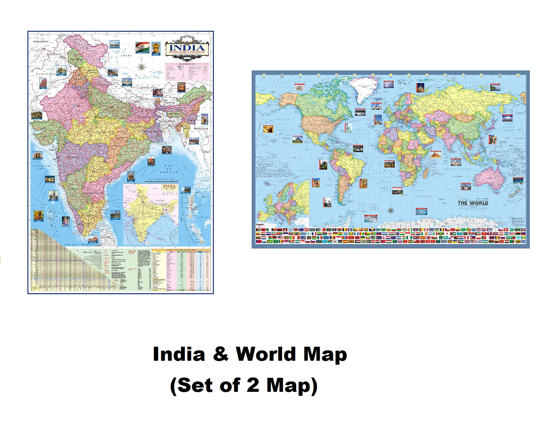
India & World Map ( Both Political & Physical ) with Indian Constitution and Indian History Chart | Set Of 6 | Use For Preparation Of UPSC, UPPSC, SSC, IES, RRB , etc Exams | India Map | World map | HP MAPS & CHARTS COMBO
Jolee's Boutique 0015586829846 Jolly Boutique USA MAP BQ15 50-21863, Other
INDIA & WORLD Political Map (Pack of 2) (Both Map Size 100x70 Centimeter) In India Map Mention Distance Between Major Cities and Highway, Rivers, Peaks, Capital, Area, Density, Literacy of States Etc. Map – 1 January 2020
United States Map - USA Poster, US Educational Map - With 2 Letter State Abbreviation - for Ages Kids to Adults- Home/School/Office- Printed on 110Lb Card Stock - 11" x 17" Inches - Bulk Pack of 10


![National Geographic Road Atlas 2025: Adventure Edition [United States, Canada, Mexico] Spiral-bound – June 10, 2024](https://m.media-amazon.com/images/I/81rRihqWqgL.jpg)