Timeless C Map Usa Classics Reimagined
Explore our curated selection of C Map Usa products designed to meet all your needs.
Political Map of the USA - Size A1-59.4 x 84.1cm - Paper Laminated
U.S. Map Poster (32 x 50 inches) - Laminated: - a QuickStudy Reference Poster – May 31, 2013
Rand Mcnally Washington D.C. Street Map (Red Cover)
Northeastern USA, Eastern Canada - Michelin Regional Map 583: Map (Michelin Regional Maps, 583)
Palace Learning Laminated USA Map - 18" x 29" - Wall Chart Map of The United States of America - Made in The USA - Updated (Laminated, 18" x 29")
Navigation SD Card Map Compatible with Mercedes Garm./Pilot, C-Class E-Class GLC.Version 14.0 (MAP 14.0) ONLY BE Used in The Audio 20 (Code 522) NTG Sync USA/Can/Mex
USA 5 NE, NY and Great Lakes: Northeast USA, Central East Coast, Washington D.C., New York City, Greater Boston, Boston (Borch Map)
Insight Guides Travel Map New England (Insight Guides Travel Maps)
A2189068403 Newest Navigation SD Card for CLA/GLC/GLA/AMG/A/B/C/E-Class - MAP 14.0 (for Audio 20 with NTG Code 522, Includes Can/Mex/USA Maps)
ArtzFolio Antique Vintage Map of USA America Canvas Painting Black Synthetic Frame 21inch x 16inch (53.3cms x 40.6cms)
Rand McNally Folded Map: Washington, D.C. Street Map
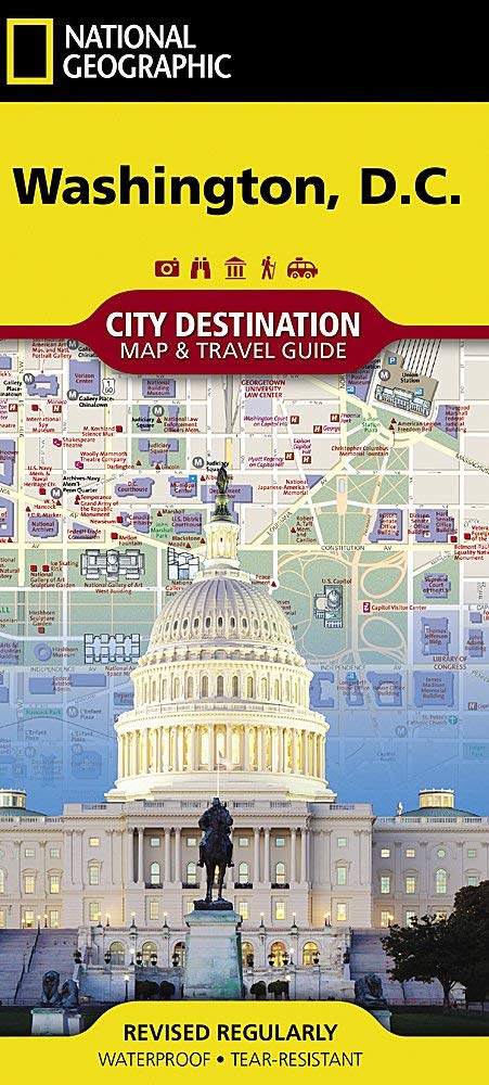
Washington D.C. Map (National Geographic Destination City Map)
USA Map Poster - United States Map Chart [Green/Color]
National Geographic Road Atlas 2025: Adventure Edition [United States, Canada, Mexico] Spiral-bound – June 10, 2024
Lonely Planet Western USA 6 (Travel Guide)
DURABLE MAGNETIC Paper Map of UNITED STATES of AMERICA (USA) with Core Based Statistical Area (CBSA) classification, Road-Rail, Important Locations with Map-Legend, Size Size 18 X 11 inches ~ A3 SIZE LANDSCAPE
Lonely Planet USA Planning Map
United States Lighthouses: Illustrated Map & Guide
USA 1 Northwest: world mapping project (USA 1 Northwest (1:750.000): Washington und Oregon)
Imagimake: Mapology USA with Capitals- Learn USA States Along with Their Capitals and Fun Facts- Fun Jigsaw Puzzle- Educational Toy for Kids Above 5 Years
Concrete New York Map: Guide to Brutalist and Concrete Architecture in New York City
Southeastern USA - Michelin Regional Map 584: Map (Michelin Regional Maps, 584)
Michelin USA Road Map 761 (Maps/Country (Michelin)) Map – Folded Map, November 1, 2017
Lonely Planet USA: Transform how you communicate with yourself and others
A15 Navigation SD Card 2024 GPS Map Update, Latest Version GPS SD Map Card for Ford Lincoln, GM5T-19H449-AJ, USA Canada Maps
Battle-Fields of the South, from Bull Run to Fredericksburg; With Sketches of Confederate Commanders. by A(t. E. C.) with Two Maps. Vol. II
ArtzFolio Antique Vintage Map of USA America | Peel & Stick Vinyl Wall Sticker for Home & Wall Decoration | 16 x 12 inch (41 x 30 cms)
USA Marco Polo Map (Marco Polo Maps)
USA Map Poster - United States Map Chart [Tan/Color] (Laminated, 18” x 29”)
United States Map with State Flags Poster - Laminated 14x19.5 in. - Educational Poster, USA Map for Kids, Elementary Classroom Decorations, and Teacher Supplies
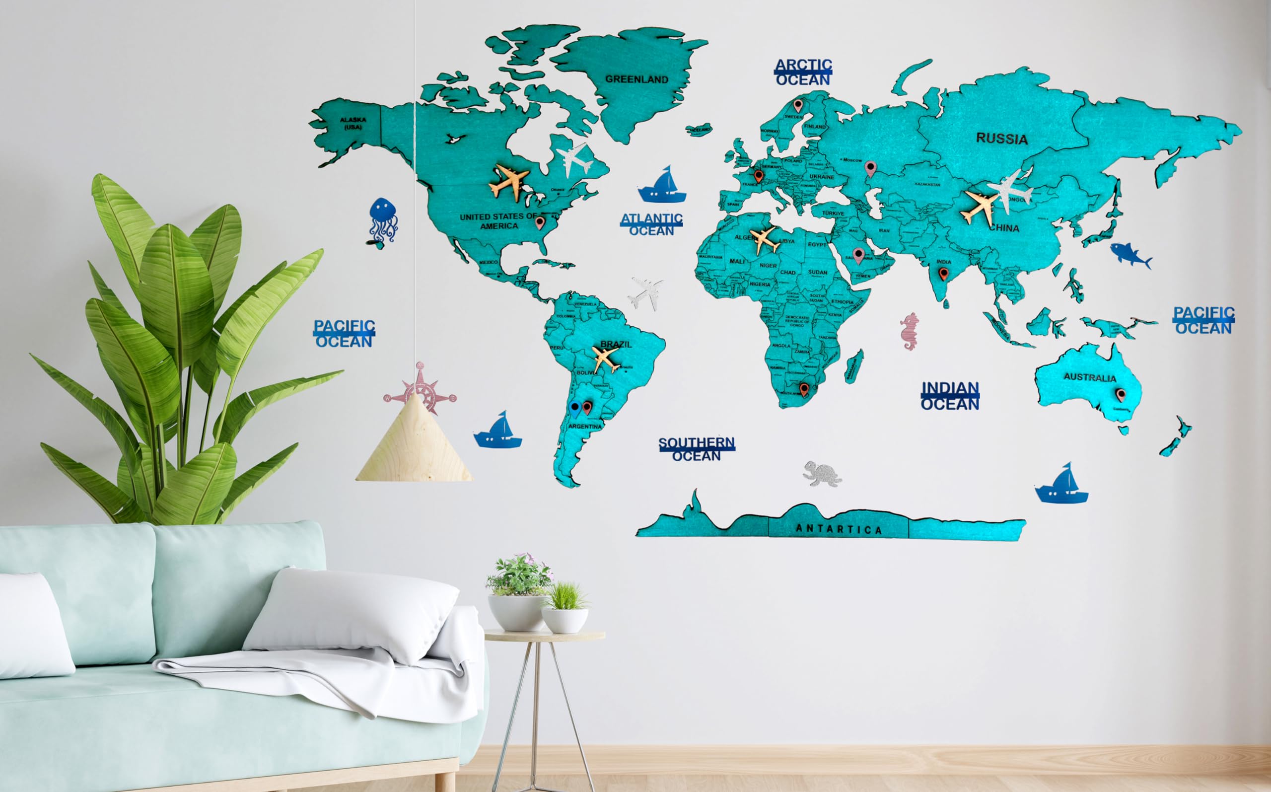
Elk 3D Wooden World Map Wall Decor - Metallic Green Color - Perfect Wall Decor for Travel Enthusiasts | Size:S (90x52CM)
Harper'S Encyclopedia Of United States History From 458 A.D. To 1905; With A Preface On The Study Of American History With Original Documents, Portraits, Maps, Plans, & C.; (Volume II)
Vintage Maps Scrapbook Paper Volume 1: 20 One-Sided Sheets: Decorative Paper for Junk Journals, Collage and Decoupage
Battle-Fields of the South, from Bull Run to Fredericksburg; With Sketches of Confederate Commanders. by an English Combatant (T. E. C.) with Two Maps.
Lonely Planet Eastern USA 6 (Travel Guide)
Resources of Kansas. Fifteen Years Experience. by C. C. Hutchinson. With A New Map and Forty Illustrations.: Fifteen Years Experience-with a New Map and Forty Illustrations
Rand McNally Folded Map: Washington, D.C. Baltimore Regional Map
Lonely Planet Best Road Trips Southwest USA: Escapes on the Open Road; 32 Routes With Maps (Road Trips Guide)
2 Pack - World Map Poster & USA Map Chart [Tan/Color] (LAMINATED, 18” x 29”)
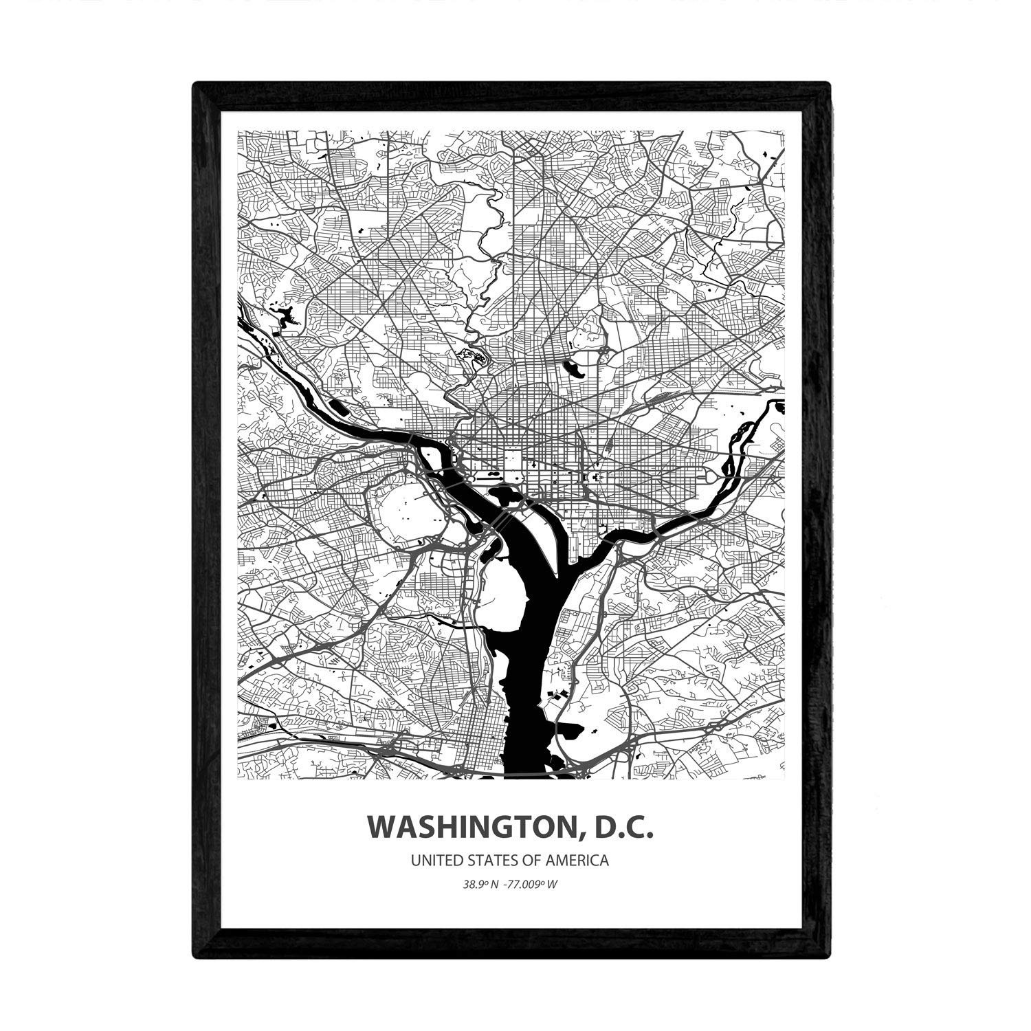
Nacnic Poster with map of Washington D.C - USA. Sheets US cities with seas and rivers in black color. A4 size
Latest Version Navigation SD Card, Compatible with Mercedes CLA/GLC/GLA/AMG/A/B/C/E-Class, Version 14.0 (MAP 14.0) ONLY Fit for The Audio 20 (Code 522) NTG, for Can/Mex/USA Maps -(A2189068403)
Montessori Geography Labeled Control Map USA Control Map for Kids Learning
Latest Version Navigation SD Card, Compatible with Mercedes CLA/GLC/GLA/AMG/A/B/C/E-Class, Version 14.0 (MAP 14.0) ONLY Fit for The Audio 20 (Code 522) NTG, for Can/Mex/USA Maps
Washington, D.C. Jumbo Map Magnet by Classic Magnets, 3.6" x 4.3", Collectible Souvenirs Made in The USA
Lonely Planet Best Road Trips Southwest USA: Escapes on the Open Road; 32 Routes With Maps (Road Trips Guide)
Papers Relating to an Act of the Assembly of the Province of New-York, for Encouragement of the Indian Trade, &c. and for Prohibiting the Selling of ... to the French, Viz. of Canada: With a Map
Latest Version Navigation SD Card Compatible with Mercedes CLA/GLC/GLA/AMG/A/B/C/E-Class, Version 14.0 (MAP 14.0) ONLY Fit for The Audio 20 (Code 522) NTG, Can/Mex/USA Maps
Lonely Planet Southwest USA's Best Trips: 32 amazing road trips (Road Trips Guide) Paperback – Folded Map, 1 July 2022
Uttar Pradesh Map | English | Laminated | 100 x 70 cm Wall Chart – 8 January 2022
1491: The Americas Before Columbus
Railroad Maps of the United States: A Selective Annotated Bibliography of Original 19th-century Maps in the Geography and Map Division of the Library of Congress
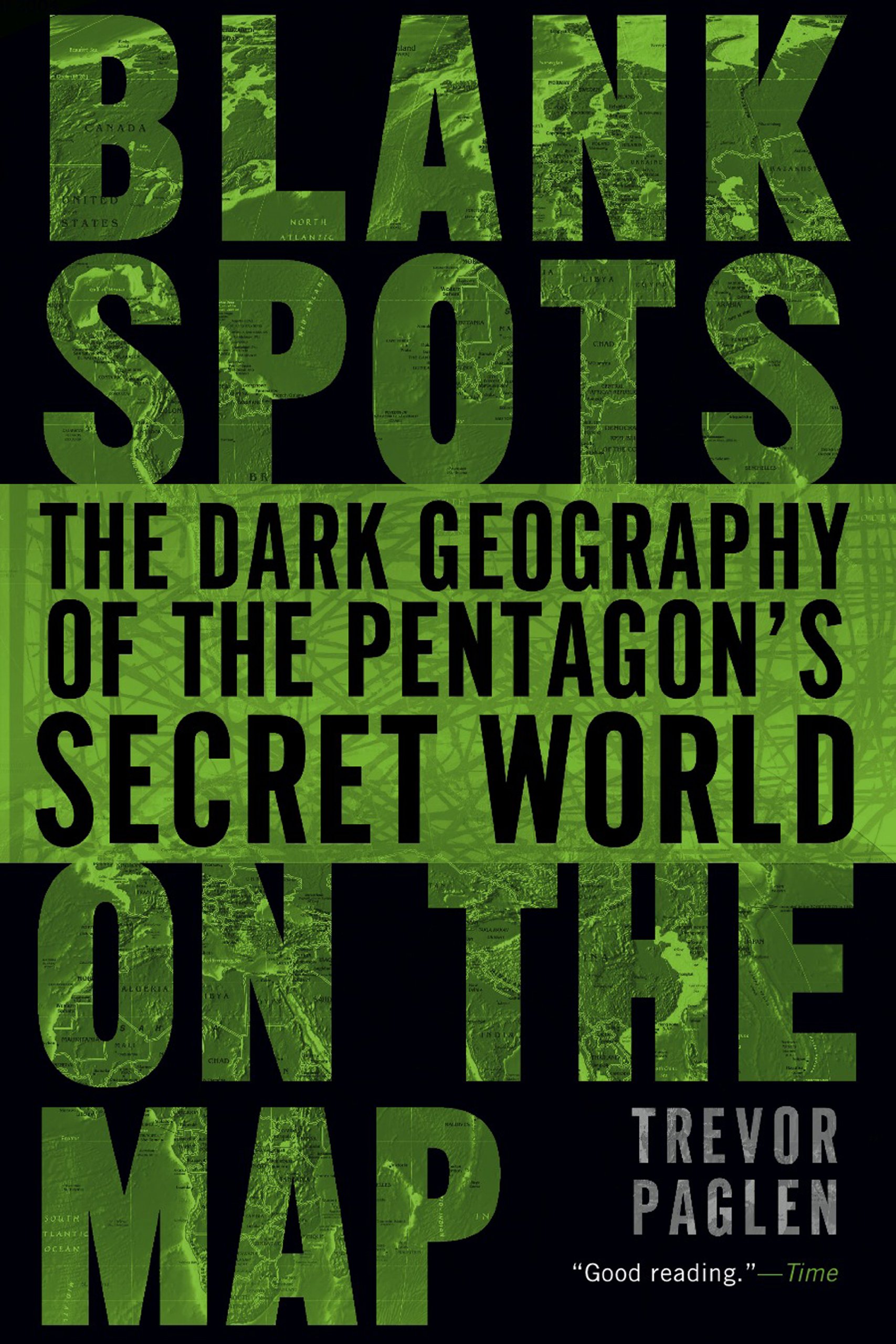
Blank Spots on the Map: The Dark Geography of the Pentagon's Secret World
Ancient History, Illustrated by Colored Maps, and a Chronological Chart, for the Use of Families and Schools. by C. A. Bloss ... Revised and Improved
Papers Relating to an Act of the Assembly of the Province of New-York, for Encouragement of the Indian Trade, &c. and for Prohibiting the Selling of ... to the French, Viz. of Canada: With a Map
DK Eyewitness Top 10 Washington DC (Pocket Travel Guide)
DK Eyewitness Washington DC
Complete Illustrated History of the First & Second World Wars: With More Than 1000 Evocative Photographs, Maps and Battle Plans
A Little Fifer's war Diary, With 17 Maps, 60 Portraits, and 246 Other Illustrations
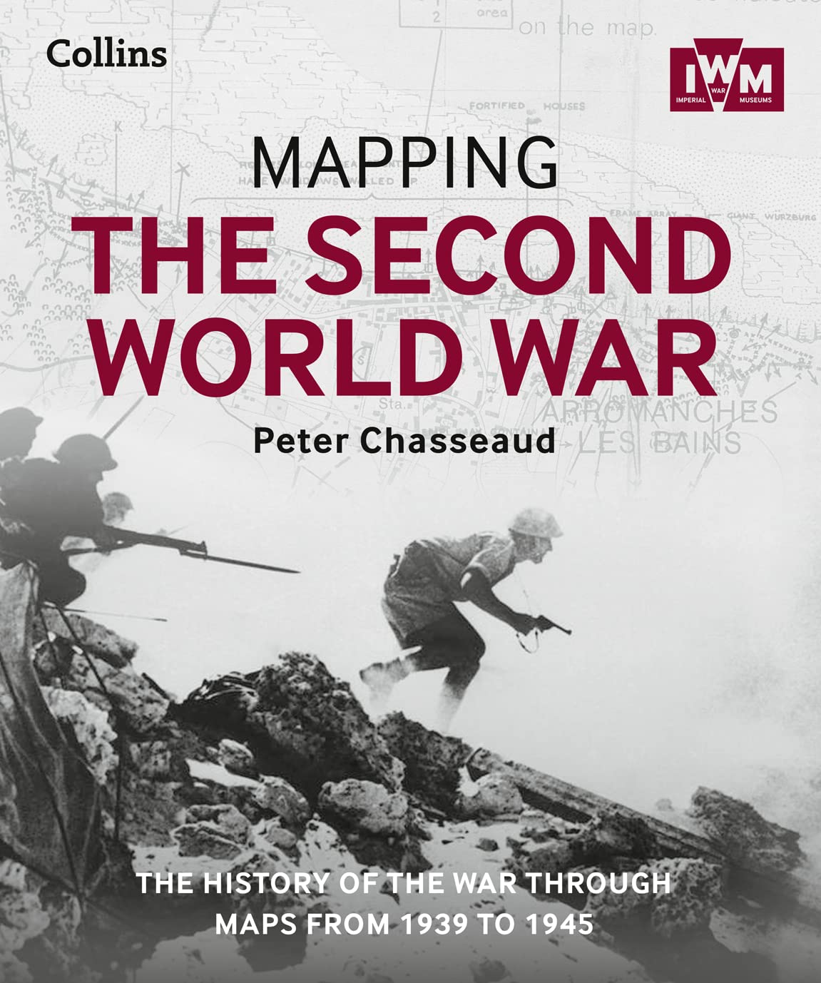
Mapping the Second World War: The History of the War Through Maps from 1939 to 1945 Hardcover – 30 October 2015
Blank USA Map Outline Poster (LAMINATED, 18" x 29")
Elk 3D Wooden World Map Wall Decor - Metallic Teak Brown Color - Perfect Home Decor for Travel Enthusiasts Size:XXL (255x145CM)


![USA Map Poster - United States Map Chart [Green/Color]](https://m.media-amazon.com/images/I/91hlqXJIonS.jpg)
![National Geographic Road Atlas 2025: Adventure Edition [United States, Canada, Mexico] Spiral-bound – June 10, 2024](https://m.media-amazon.com/images/I/81rRihqWqgL.jpg)


![2 Pack - World Map Poster & USA Map Chart [Tan/Color] (LAMINATED, 18” x 29”)](https://m.media-amazon.com/images/I/A1aLNThapcS.jpg)